Floodplain Interactive Maps
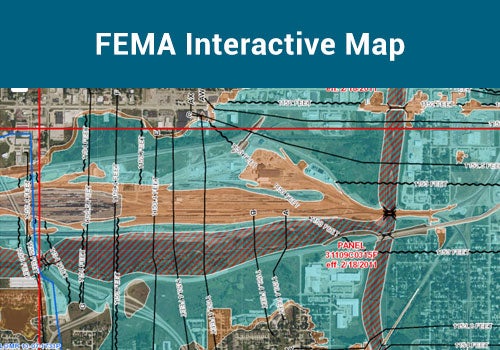
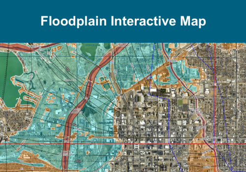
Nebraska Floodplain Interactive Map
Use this map to view FEMA's digital flood hazard data, community information relating to floodplain management, flood awareness areas, and much more.
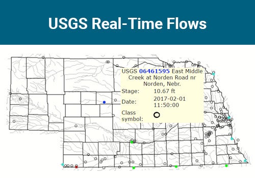
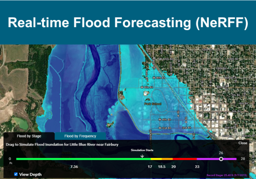
Nebraska Real-time Flood Forecasting
Use this map to view additional flood hazard information including current and forecasted stage heights, flood inundation boundaries, current weather alerts and radar, and much more.
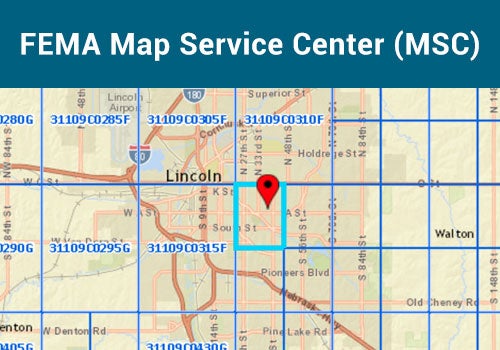
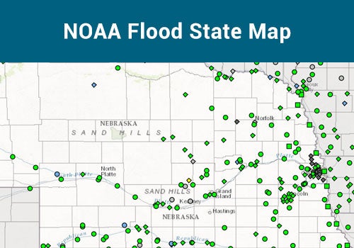
Other Maps